1999 + 2005
Map of the footpaths of the Bordeaux periphery
Périphérie de Bordeaux
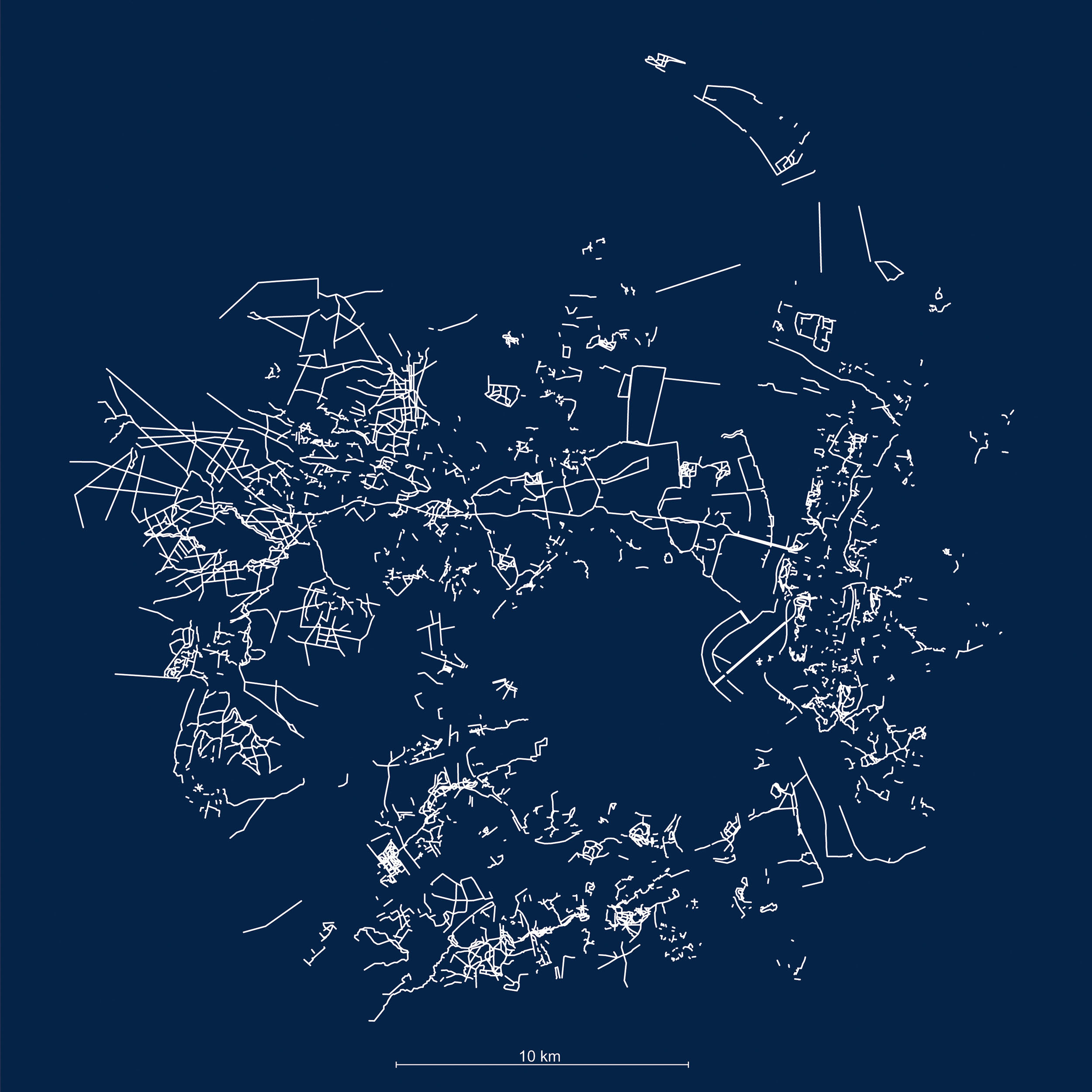
Map of roads, paths, forest tracks, alleyways of housing estates and main bicycle paths, conducted in 1999 during a 3-month exploratory walk, and updated in 2015 using the Open Street Map database and the IGN’s aerial view.
The challenge of this work is to reveal the walkability potential of the territory. Taken together, these paths represent about 1200 km in length, equivalent to the distance from Bordeaux to Paris and back !
This mapping made it possible to design the Common Lands Trail.
This work was conducted as part of “Zone Sweet Zone“, Yvan Detraz’s architecture diploma.
Last
projects
> all projectsAt the crossroads of art, territories and populations, our approach aims to promote the transition to sustainable, shared and welcoming cities, by proposing alternative ways of imagining and building our living environment and by exploring new forms of public space.
Come with an appetite
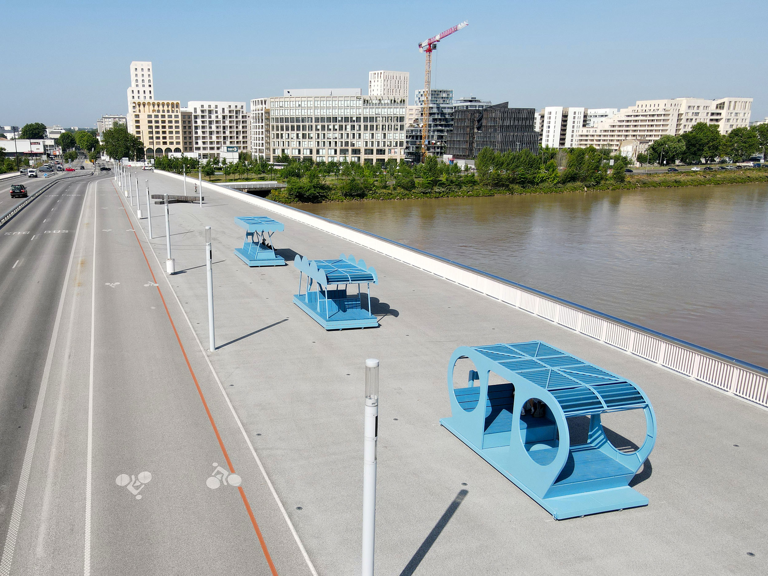
E’POP!
Espaces Publics Ombragés Portatifs Bordeaux
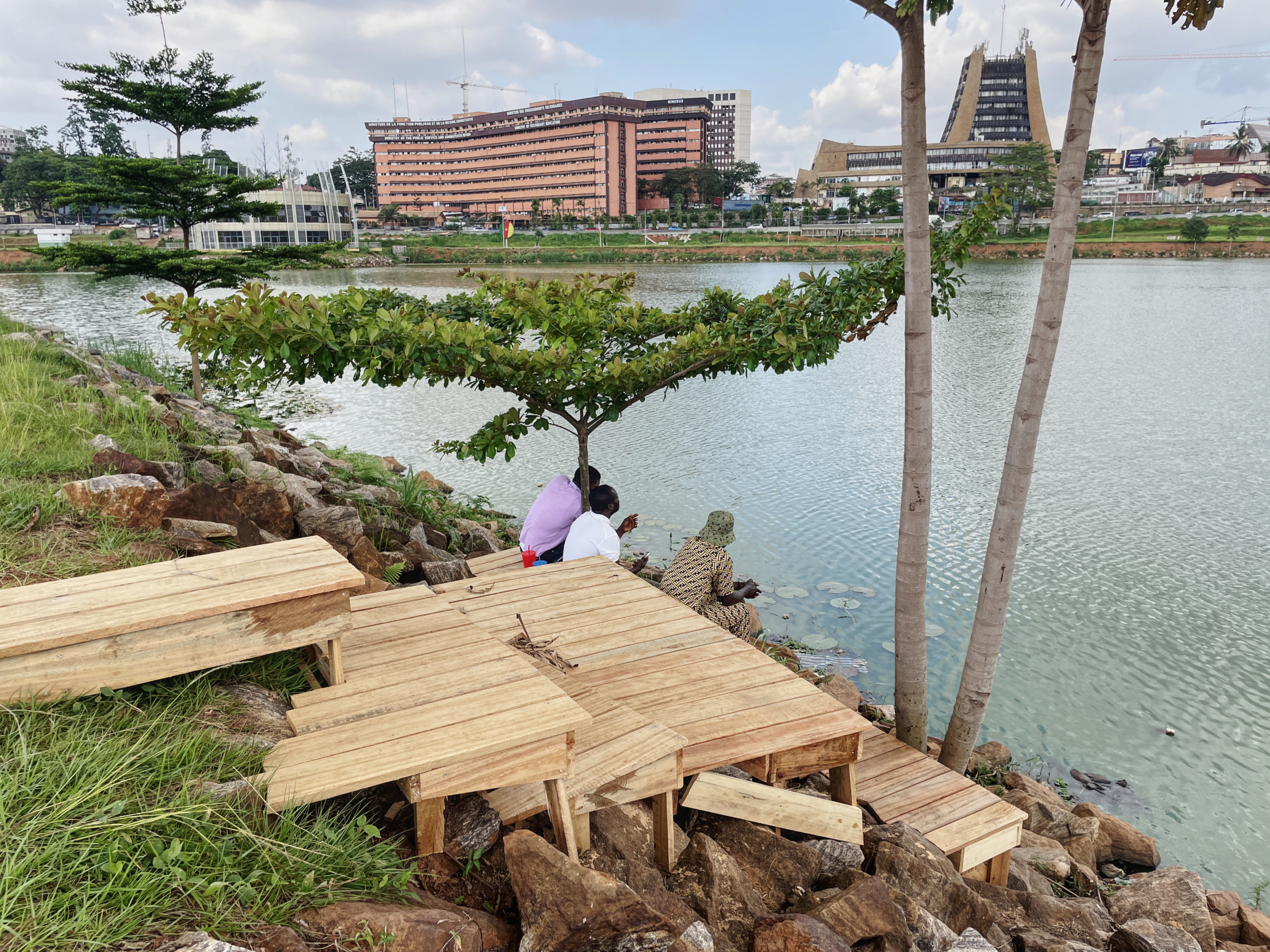
F.C. WATA
Fabrique Collective du Lac Municipal Yaoundé – Cameroon
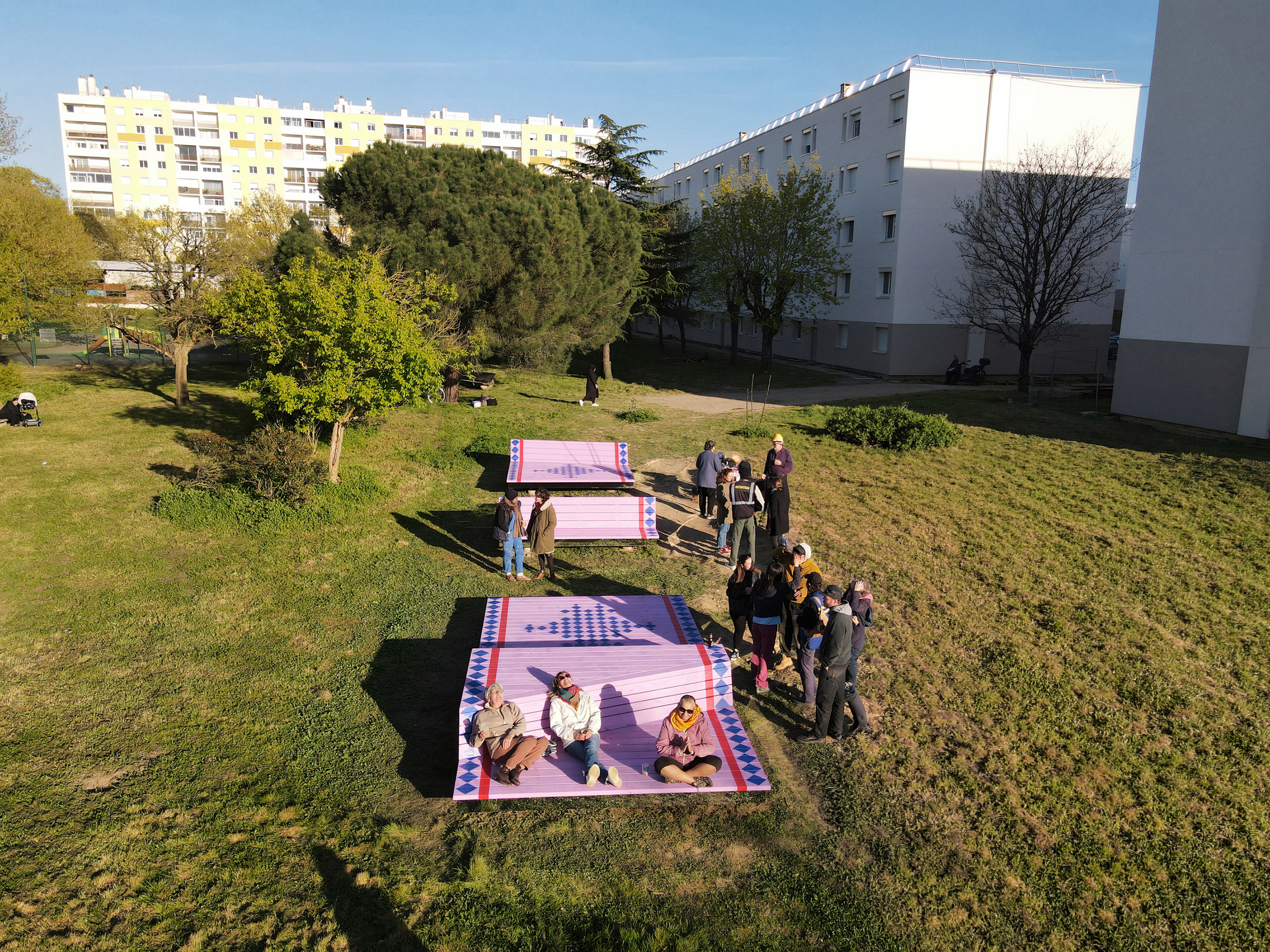
The Flying Carpet
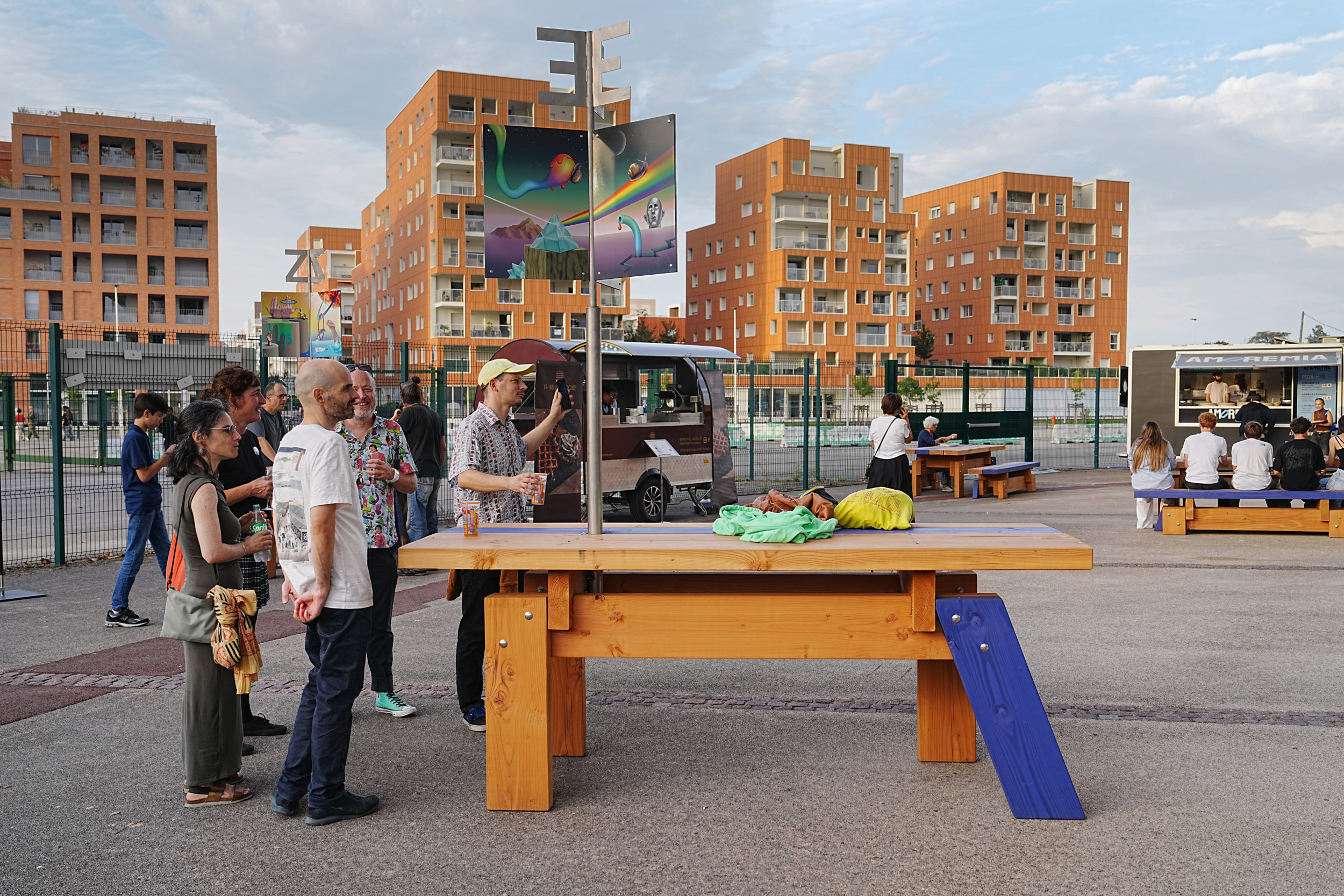
Cenon
Carved in wood
Bordeaux
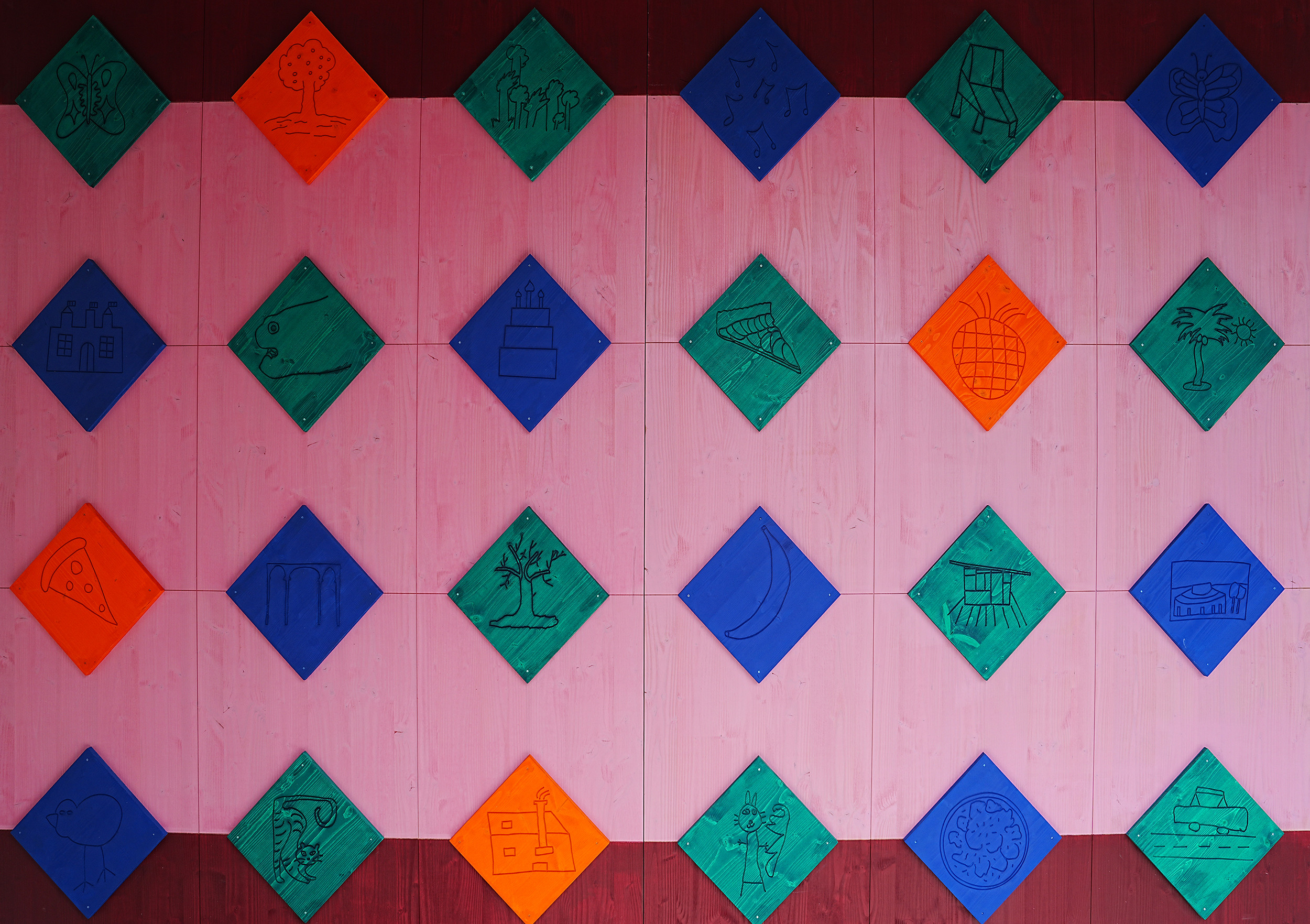
Praline castle
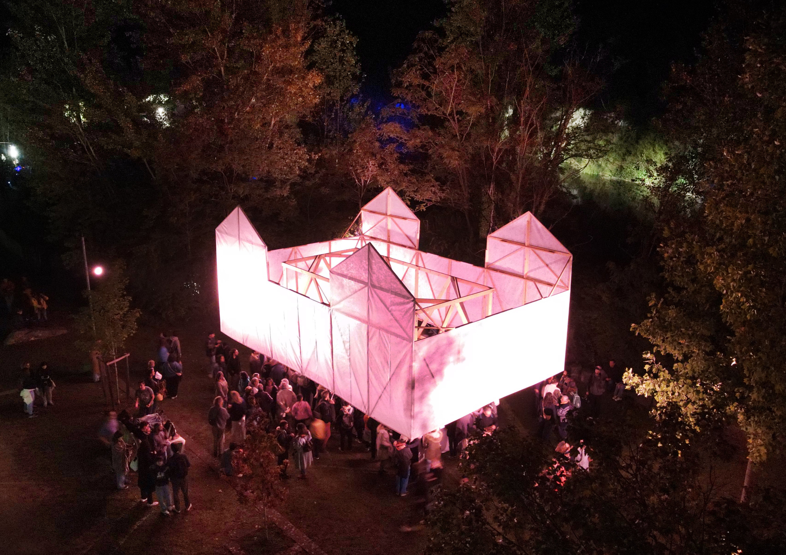
La Nuit Verte, biennale de panoramas Lormont
On vacation with Jeannie L #3
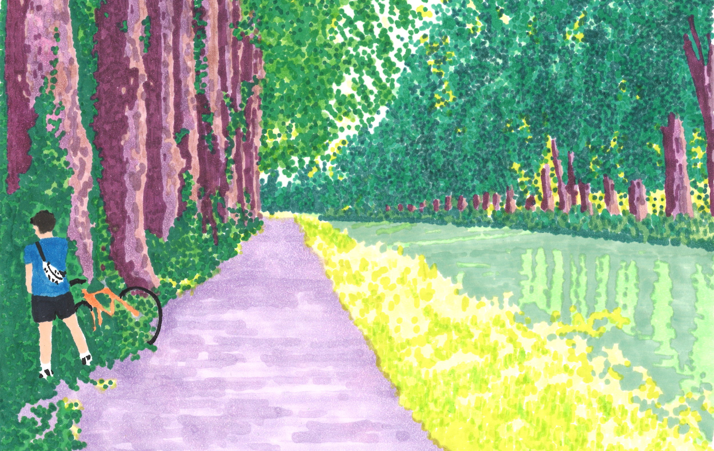
An artistic epic on bicycle Bordeaux - piste du canal latéral de la Garonne